The Kaleidoscope of KL’s Living History
by Kasumi Shirahata
How does a city move from being merely liveable to truly lovable: inclusive, sustainable, and deeply human?
After living in London and travelling to more than thirty countries, people often ask me, “Why Kuala Lumpur (KL)?” My answer is simple: KL feels like a city that breathes with me. It’s not just liveable—it’s lovable because every street corner carries a story, every back lane speaks of resilience. For me, KL is a city of unexpected warmth, where history and humanity meet in the most ordinary spaces, and this day in late December 2025 was no exception.
KL was recently designated a UNESCO Creative City of Design. But creativity isn’t just about skyscrapers; it’s about the layers of stories embedded in the pavement beneath our feet.
A Richly-Layered City: Experiencing the Pulse of Kuala Lumpur
A Sunday of Discovery
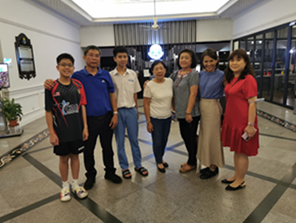
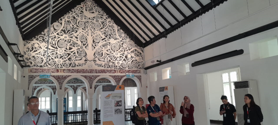
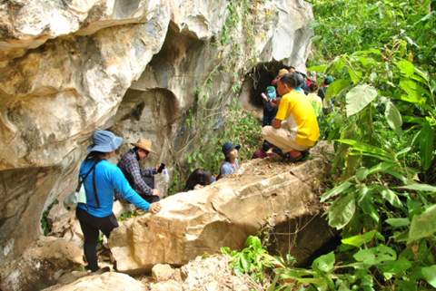
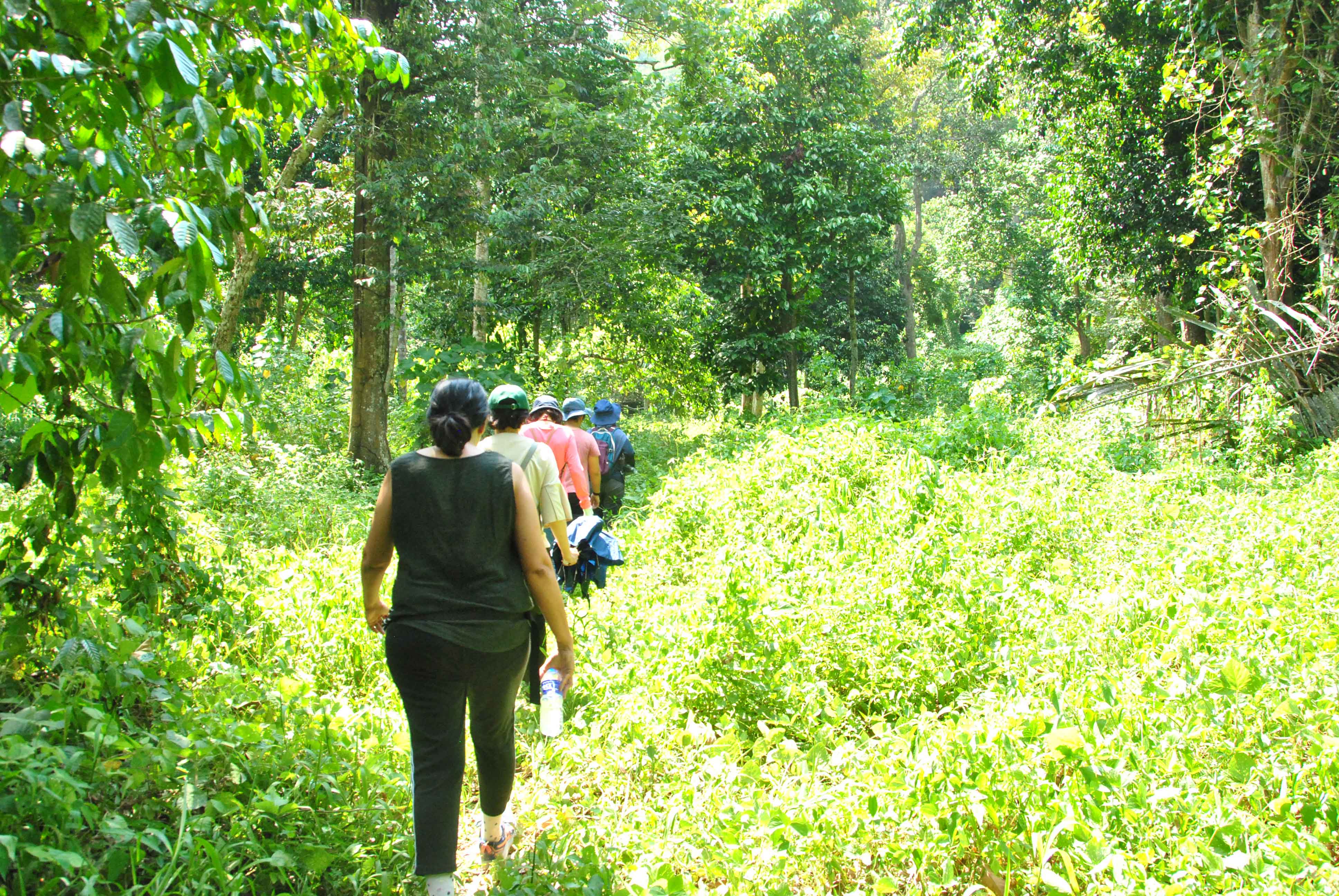
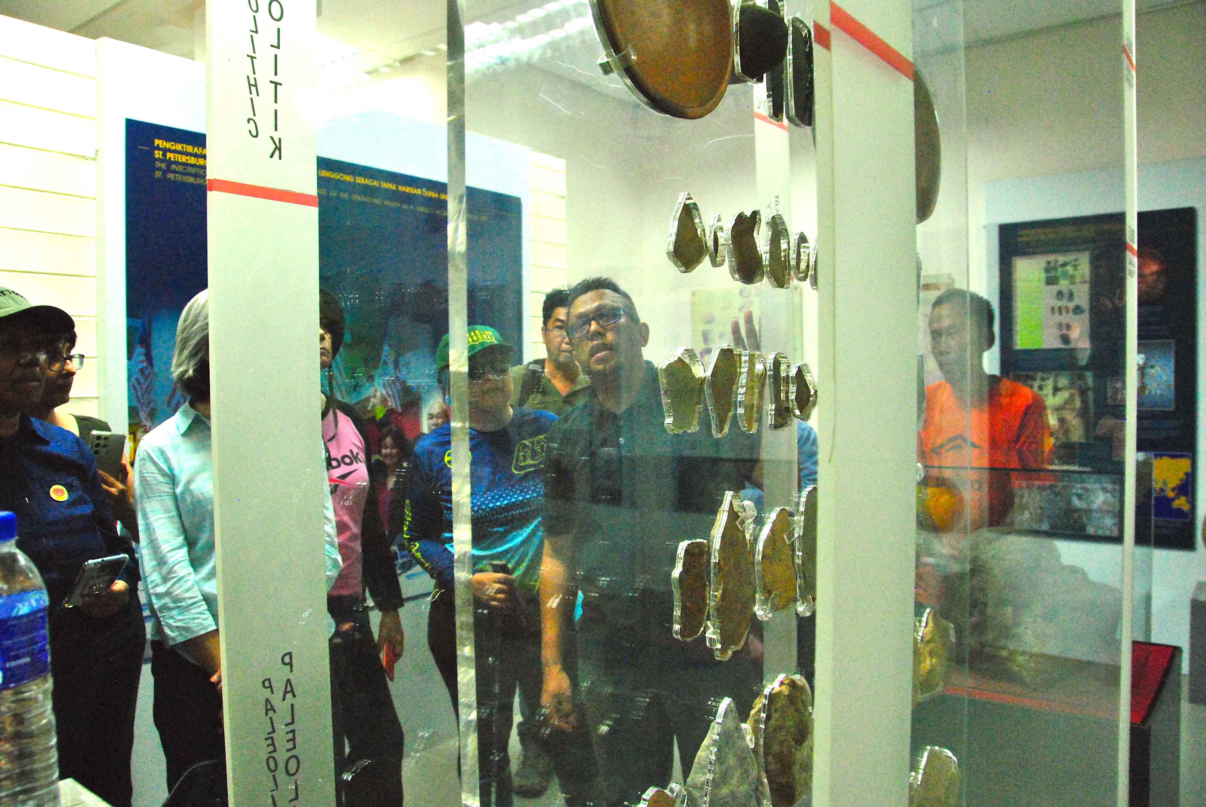
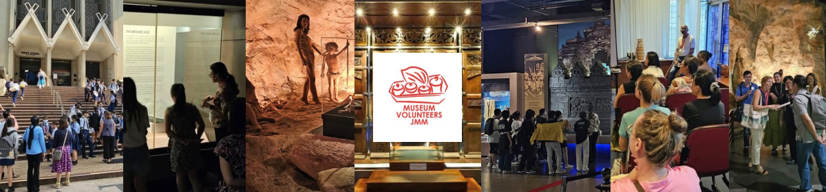
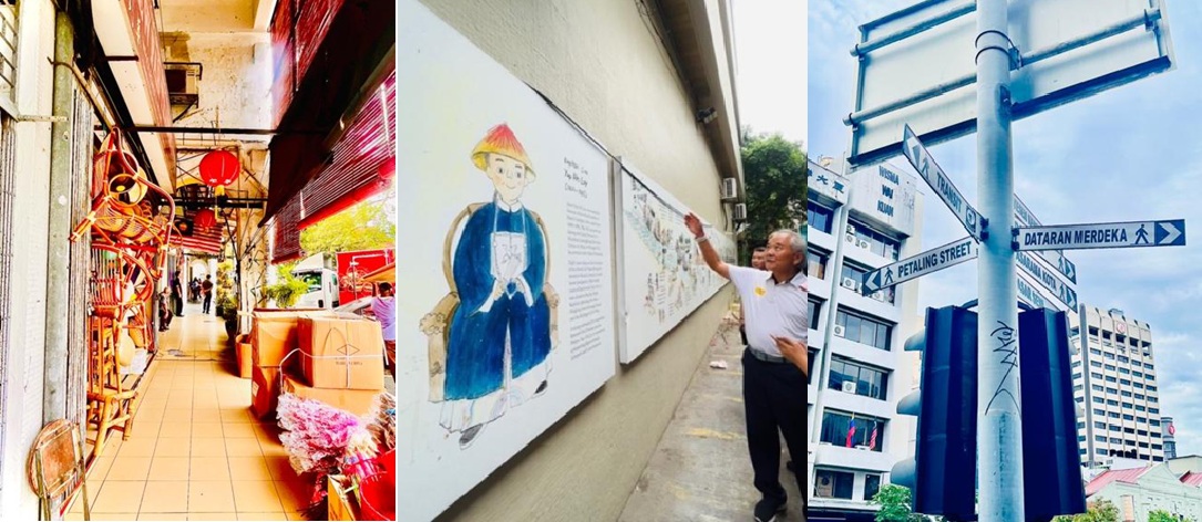
On a quaint Sunday in late December, I joined my fellow trainees for a field session to explore Chinatown and its surrounding area. We were led by Eric, a trainer at MVJMM. This followed four months of intensive training and passing rigorous exams, in a programme designed to deepen our understanding of Malaysia’s layered heritage and interpret it for global audiences at Muzium Negara.
(For a detailed route, see Eric’s guide: A Very Rough Guide To KUALA LUMPUR CHINATOWN )
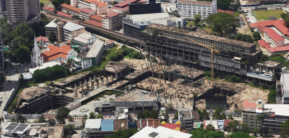
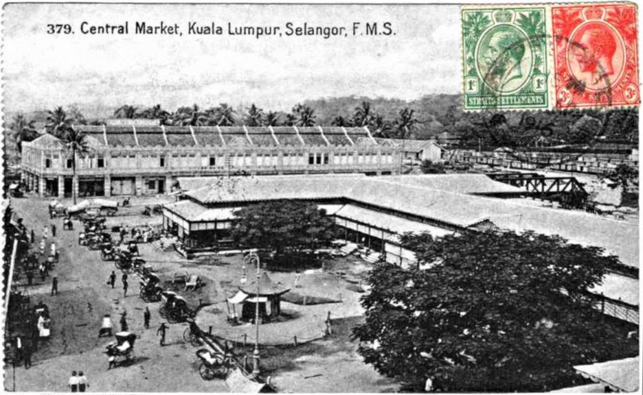
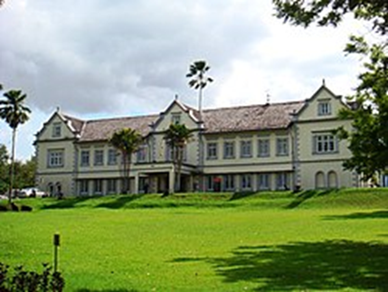
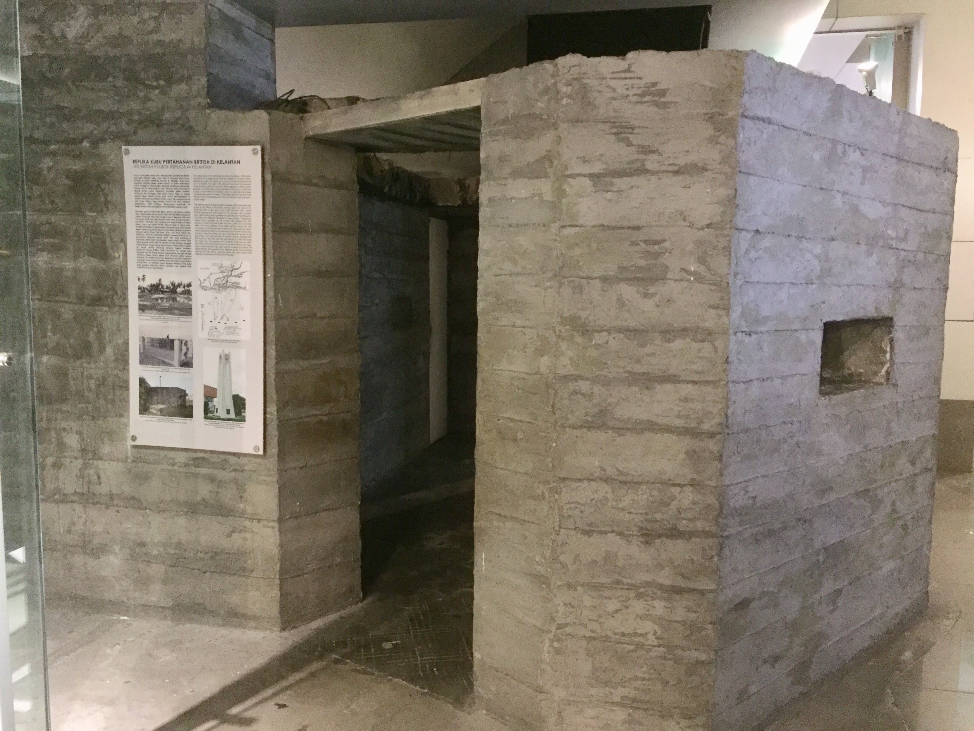
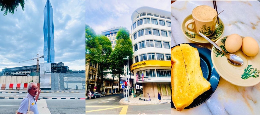
Our 8,000-step journey began at 8:00 am, fuelled by my favourite drink, cham (coffee-tea mix). We started walking at a building in Pudu, once left derelict by the Asian Financial Crisis. A stark reminder of the city’s economic scars. From there, we wound through sacred temples, vibrant backlanes, and the historic streets of Chinatown, ending at Stadium Merdeka.
Watching people reclaim the streets during KL Car Free Morning (a DBKL eco-friendly initiative enacted every Sunday) gave me a surge of energy. I realised then that through the “lenses” of Eric and my diverse companions, the Chinatown I thought I knew was being transformed. The intentional reinterpretation of history creates emotional attachment. It is how personal memories make a city “lovable.”
The Beauty of Hybrid Identity: Designing Beyond Boundaries
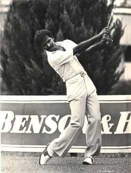
KL is a city of “and”, not “or”. Our collective lenses brought the city’s various perspectives into focus. Along one street, elegant Art Deco facades echo London’s sophistication. Just steps away, a humid backlane carries the scent of Indian curry simmering in a giant pot, offering a stark yet beautiful contrast. One trainee shared how Chinese gold shops once placed mirrors at their entrances as a security design, enlightening me of the thoughtful wisdom behind this act. Moreover, I finally understood why badminton is a national obsession. Introduced by the British, badminton became a symbol of Malaysian identity through the seeds planted by the legendary exploits of Tan Aik Huang, who was the world champion back in 1965.
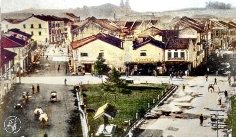
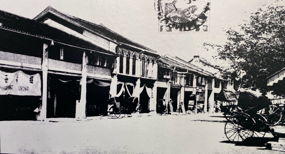
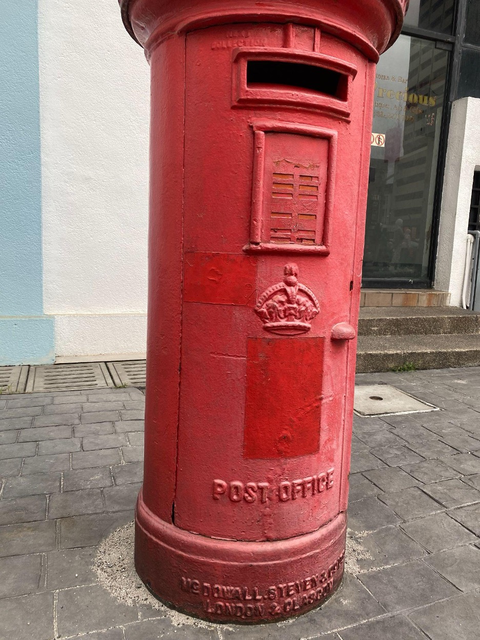
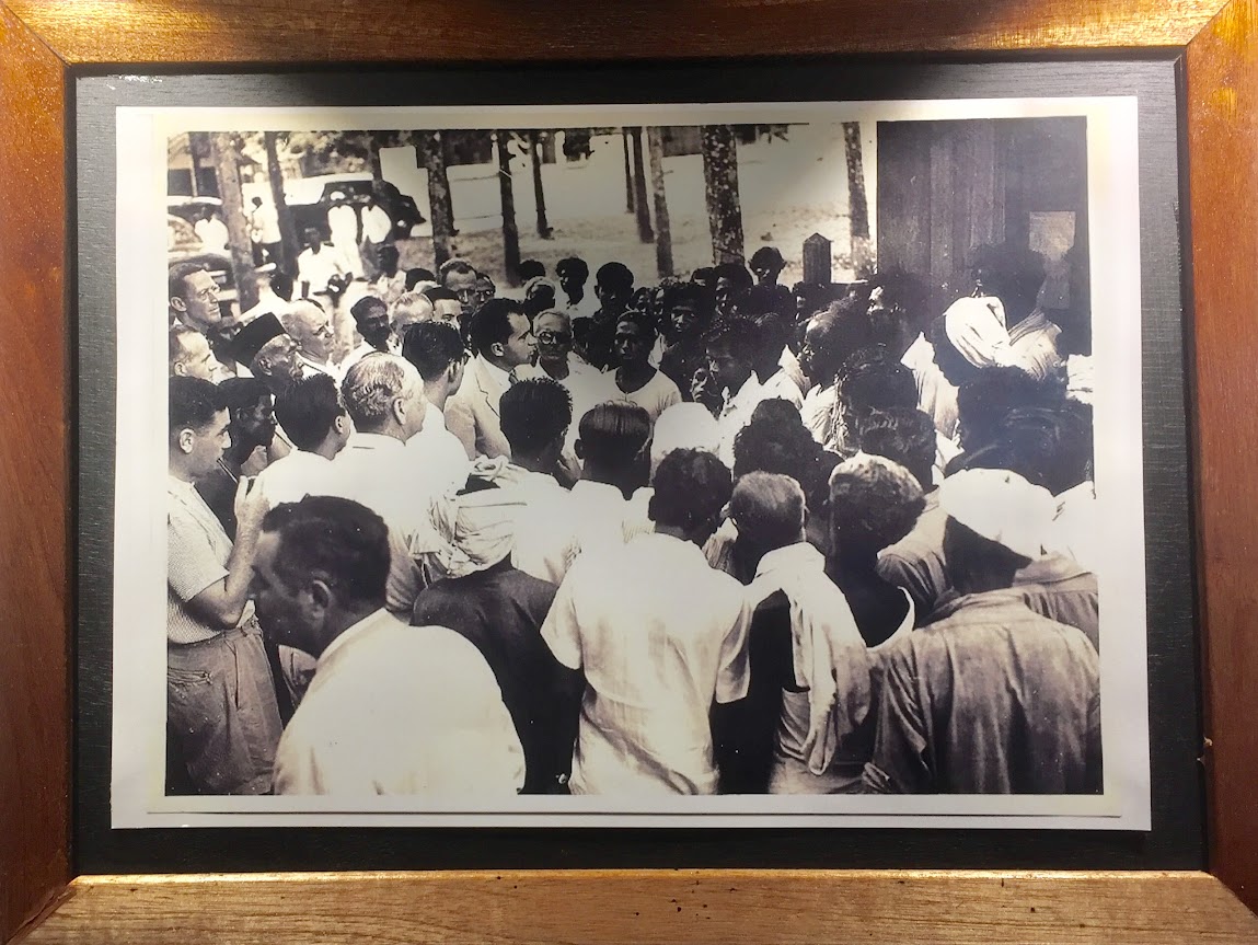
I could go on and on about these amusing stories. But what struck me most was not the facts themselves, but how naturally they coexist. Do you know that the red post box in front of Chinatown was green during the colonial era? Or that many of the visual records of early Malayan life we have today were captured by a Japanese photographer, Nakajima? We even discussed the late Endon Mahmood (the wife of the 5th Prime Minister during 2003–2005), whose Japanese-Malay heritage helped transform the kebaya into a symbol of national pride. KL truly embodies inclusive design by being able to hold all these micro-histories.
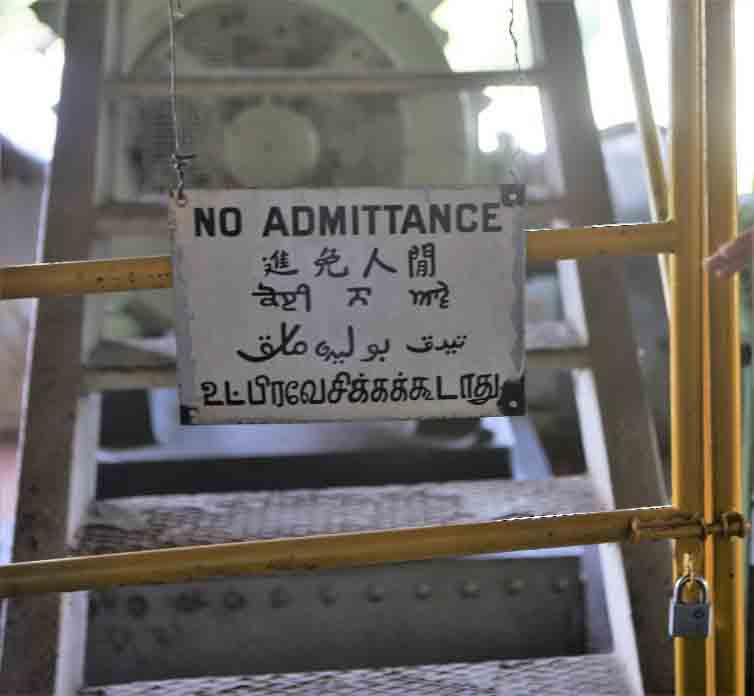
The “Five-Foot Way”: A Stage for Informal Inclusion
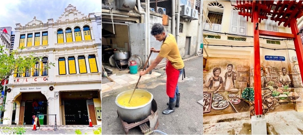
A unique architectural signature of Malaysia is the kaki lima (five foot pathway). This mandate from the British era, combined with Southern Chinese shophouse styles, created a buffer zone where private life and public commerce meet. The kaki lima is a masterclass in informal inclusion, a place which welcomes the placement of a barber’s chair, a sudden conversation, or even a shared kopi. This reminds us that the best cities may not be perfectly designed, but gently shaped through these “in-between” moments.
For a brief moment, this brought to my mind the Japanese “engawa” (a traditional wooden veranda or hallway in Japanese homes that bridges indoors and outdoors), not as a comparison, but as a shared sensibility of spaces that invite people to linger between inside and out.
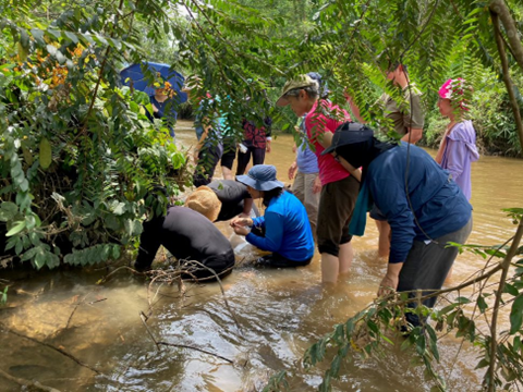
Repurposing the “Shadows”: From Muddy Confluence to Urban Living Room
The name “Kuala Lumpur” means “muddy confluence”, and nowhere is this more visible than at the River of Life. For years, these riverbanks were neglected. However, through intentional design, they have been revitalised as a vibrant waterfront. The name is a powerful reminder to not just look at the river for its beauty today, but to also reflect on a river’s importance — considering that 97% of Malaysia’s raw water supply comes from our rivers. Urban regeneration, therefore, is not just about aesthetics; it is about ensuring resilience by protecting the lifeblood of the city for future generations.
This spirit of resilience started with Yap Ah Loy, a poor immigrant who arrived in Malaya at a young age of 17 years old. He started with humble beginnings as a gritty pig trader, rising into prominence to be the third Kapitan China of KL. He was instrumental in the development of KL, including rebuilding KL after fires ravaged the capital in January 1881 and floods struck KL within the same year, in December 1881. His perseverance has inspired generations, which is why, to this day, Petaling Street is still fondly called “Tapioca Flour Street” in Chinese (Tapioca Flour is one of the industries developed through Yap Ah Loy’s efforts).
Just a stone’s throw away, Medan Pasar has undergone a similar ‘rebirth’ or transformation. Once a hub for gambling, Medan Pasar has been repurposed into an Urban Living Room. By adding greenery and swings, the city has dissolved psychological boundaries, turning a once-avoided area into an inclusive space. Similarly, Kwai Chai Hong uses murals to recreate the daily life of 1960s migrants, proving that “shadows” can become “light” when art invites the public back into these once-shunned spaces.

The “Third Place”: Sanctuaries of Belonging
Around Chinatown, certain spaces function as true “Third Places”, sanctuaries beyond home and work:
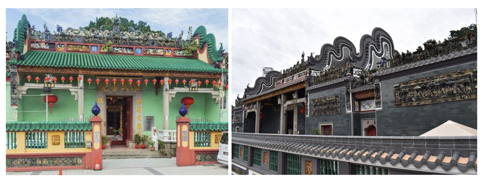
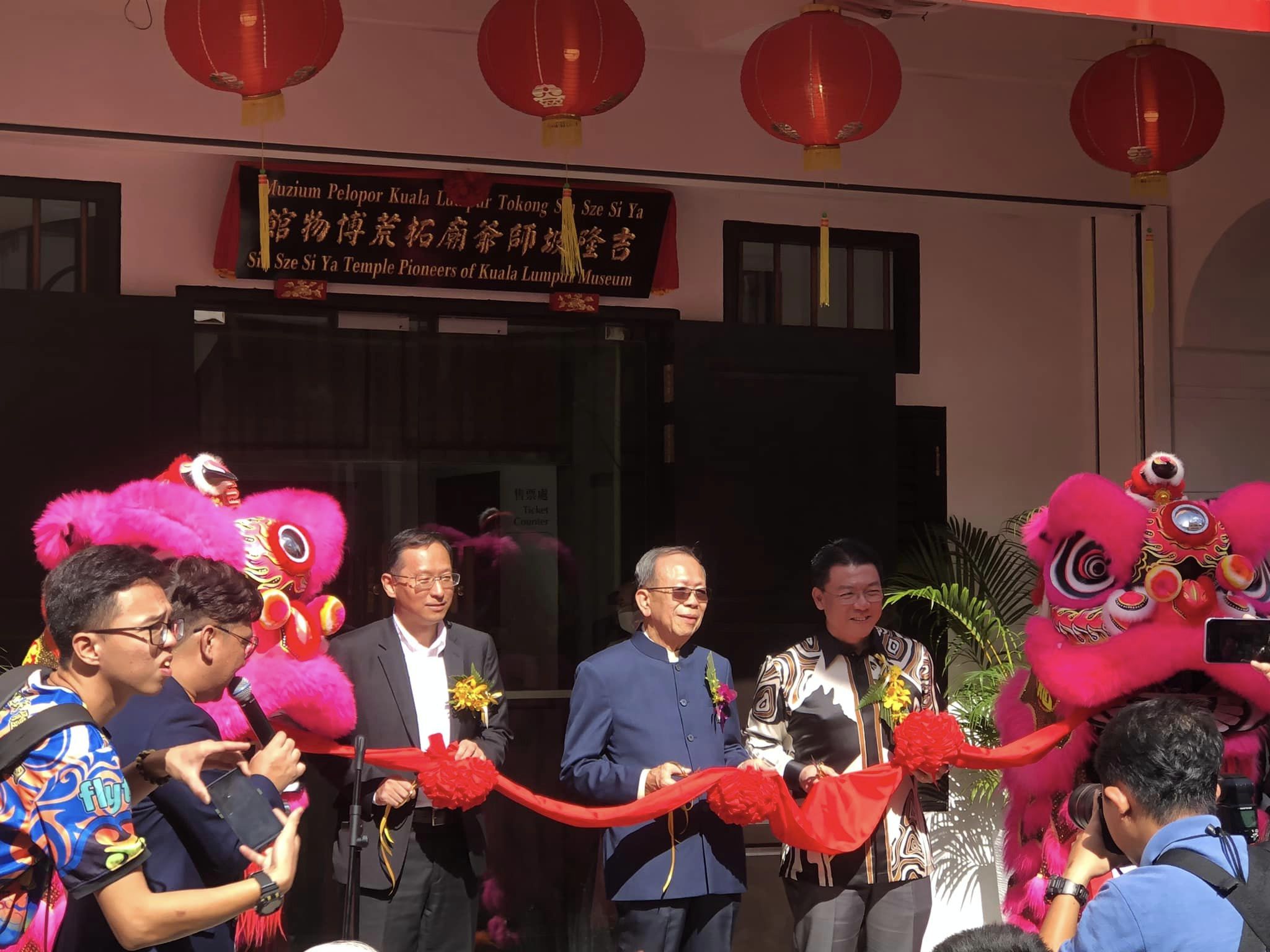
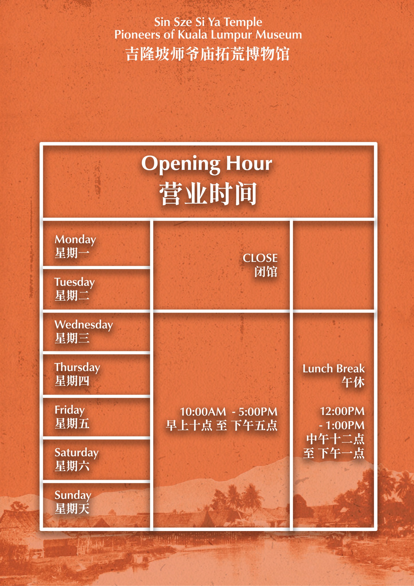
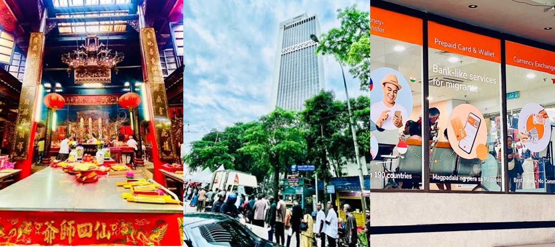
- Sin Sze Si Ya Temple (History and Personal Prayer): Founded by Yap Ah Loy, this temple was built as a spiritual anchor for Chinese laborers exhausted by civil wars and mining life. The temple was born from his gratitude toward his mentors and his wish for his comrades’ peace. Today, the flames of wishes for success, business, and even ‘eternal youth and beauty’ still flicker, connecting the founder’s vision to modern prayers.
- Court Hill (Ganesar Temple): A sanctuary that opened its doors to all during the 1969 racial riots, providing safety and food regardless of ethnicity. Today, it continues to feed the hungry with daily free vegetarian meals, linking historical rescue to modern compassion.
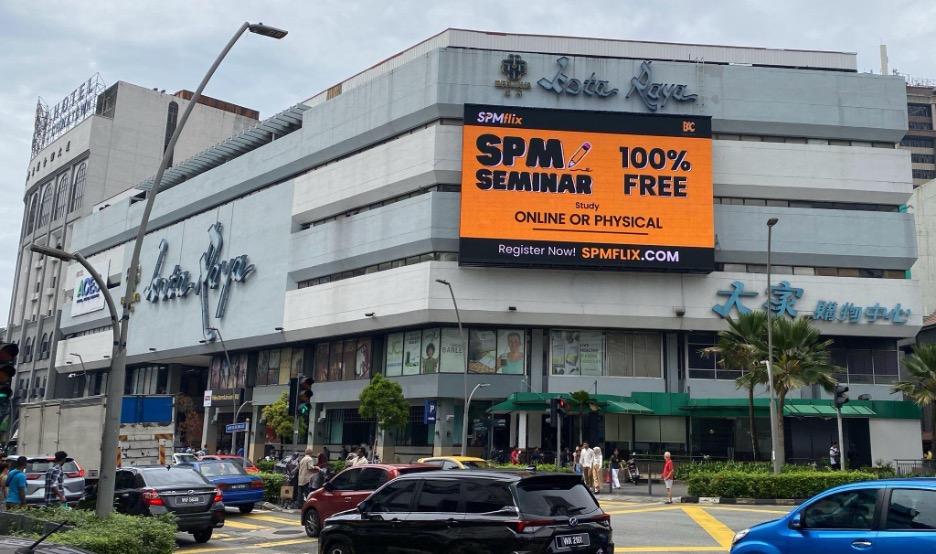
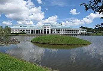
- Kota Raya Shopping Complex: In the 60s, this was the “Pavilion” of its time. Today, that nostalgia lives on alongside a new story: “Little Manila.” For the Filipino community, this is “Home”, a place to find the taste of their homeland and a sense of peace.
Where We End, Where We Start
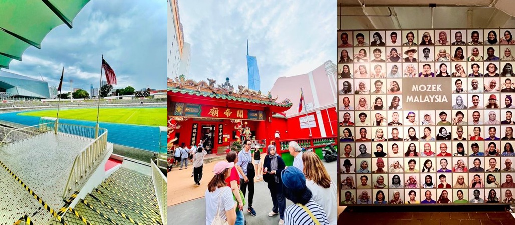
Our walk concluded at Stadium Merdeka, where the open-air ventilation mirrors the “open” spirit of 1957 independence. Looking up, Merdeka 118 pierces into the sky, echoing the rakyat’s raised hands during the declaration of independence, bridging past struggles with future aspirations.
What started as a journey to learn about Chinese history did not end with a single conclusion. Instead, the more voices I listened to, the more “lenses” I gained. In KL, histories, cultures, and people are deeply connected, often without clear boundaries.
Owing to these often-forgotten, in-between spaces, travellers are open to interpret and engage in dialogue with the meaning behind such spaces from their own lenses. Thus, the city’s charm quietly deepens, underneath the footsteps of various personages from all walks of life. This inviting sense of openness I felt is why I once asked a local Malaysian, “why does diversity work here in Malaysia?”. The answer wasn’t from a government policy, but from a simple and warm invitation: “Jom minum kopi!” (Let’s go grab a coffee!)
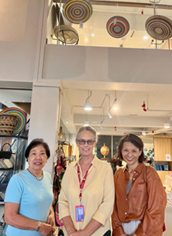
UNESCO recognises KL as a City of Design, but the most important design is the one we create together. None of these insights would have been as sharp without the collective wisdom of our trainer, Eric, and my fellow trainees, Malaysian professionals with experience in Singapore, the USA, the UK, and China. Sharing this journey reminded me that a city is not just built by planners, but by the diverse souls who choose to call it home.
So, tell us: what is the story within five metres of where you are standing? Let’s start a dialogue over a kopi!
Note: Image source for all photos: Kasumi Shirahata (author)
 Statue of Bodhisattva Avalokiteshvara